|
One of the special features of the park is the Boucher Hill Summit
(pronounced "boo-ker"
or "booker"). The
peak has been listed in the
Sierra Club's
"Hundred Peak Section"
since it was first published in 1946.
Just
getting to the top a pleasure, and once you arrive you can enjoy
spectacular views and study the fascinating
historical fire lookout.
There are two ways to get to the summit:
Boucher Trail The trailhead is a short walk from the Silvercrest parking lot, at the junction of five roads.
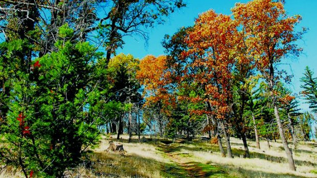
The trail inclines gently uphill along the ridge of Boucher Hill,
taking you through grass, bracken fern and stands of oak.

After
about 3/4 of a mile you'll reach the lookout area. You may
continue along Boucher Trail for another 1/2 mile to Nate Harrison
Grade. This upper portion is much more open and sunny than the
lower portion, and provides continuous views to the west.
Boucher Hill Scenic Drive
The Civilian
Conservation Corp (CCC) developed this road as a
scenic drive up to the lookout. This one-way loop
begins
next to the trailhead.
|
|

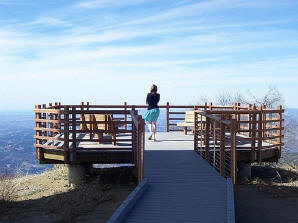
Once you reach the summit, take time
to stop and walk out to the view deck, which is also wheelchair
accessible.
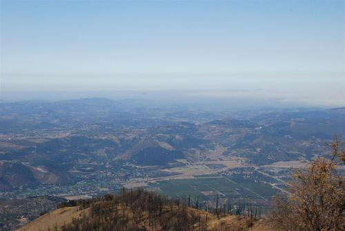
To the southwest, over 4,500 feet below
you, lies the verdant Pauma Valley. Equally stunning sights greet
you to the north, west, and southeast: Santiago Peak to
the northwest, Cuyamaca Peak to the southeast, and the Pacific
Ocean, including the Coronado Islands.

The dramatic views also make
this an excellent spot for the
Boucher Hill Fire Lookout and communications towers and
dishes.
|